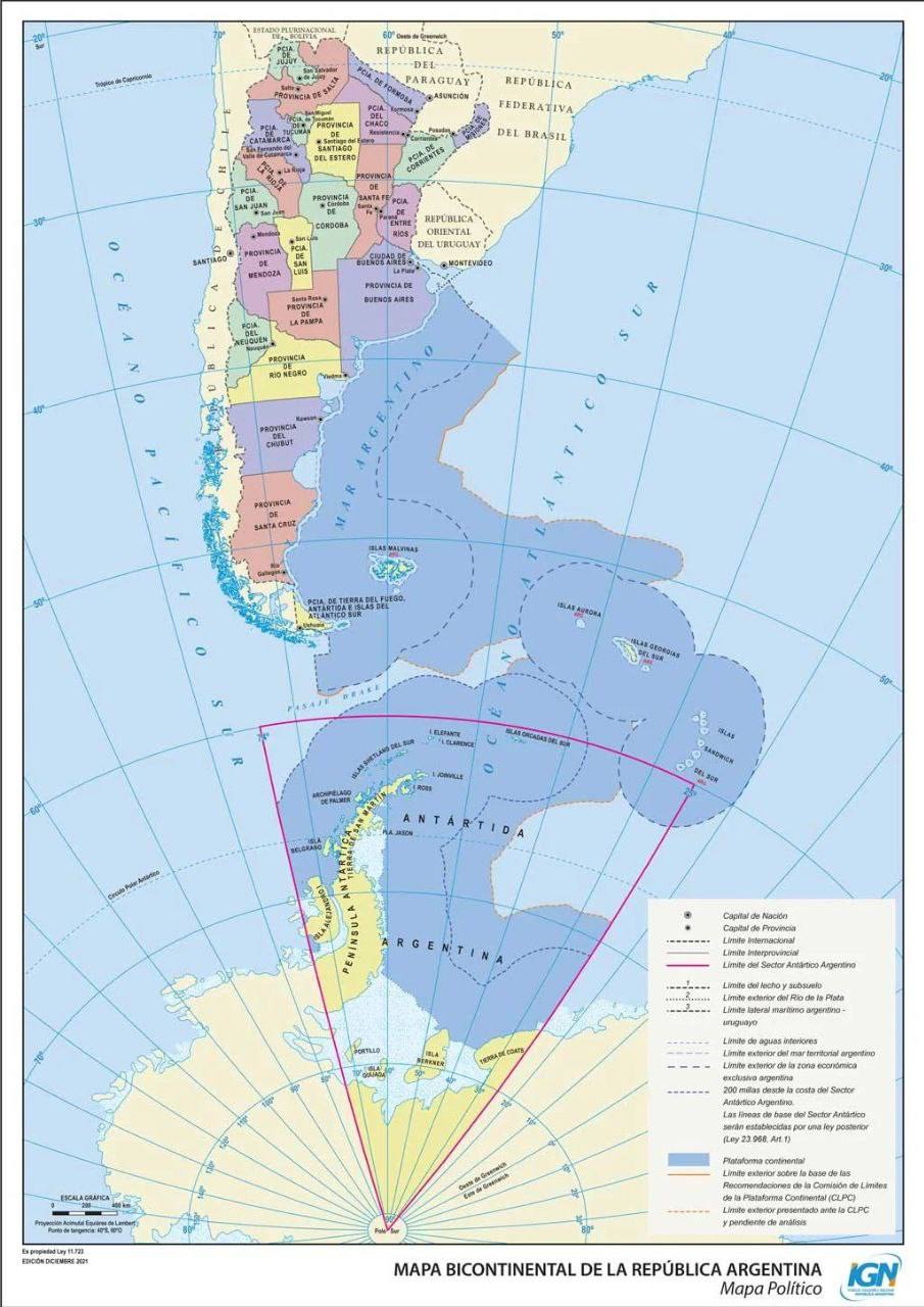
NB! · Geography · Maps
NB! · Geography · Maps
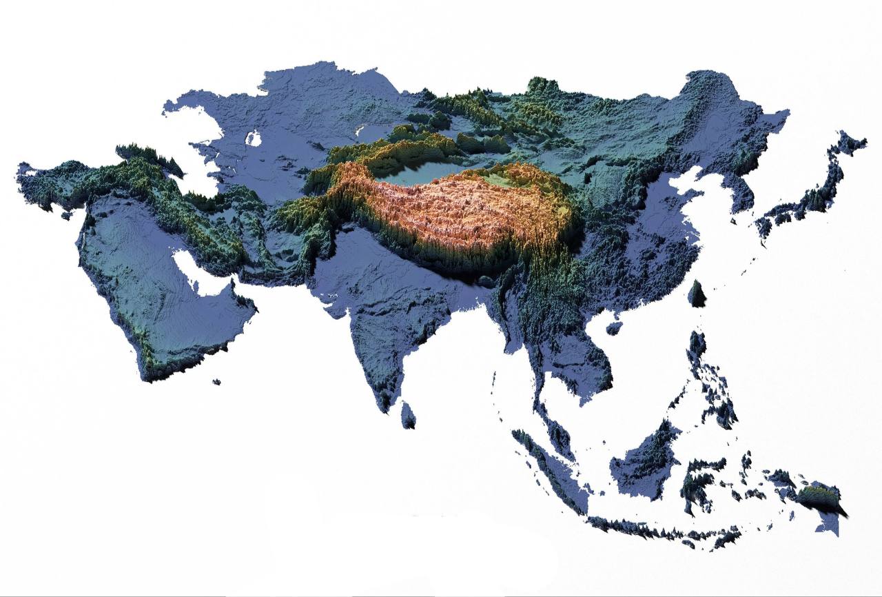
The East · Geography · Maps · Nature
A topographical map of Asia. A graphic answer to the question of why Tibet is called the Roof of the World: the average height of its territory is 4,000 m above sea level, and it is the largest mountain system by area. A mountain system on the continent. The
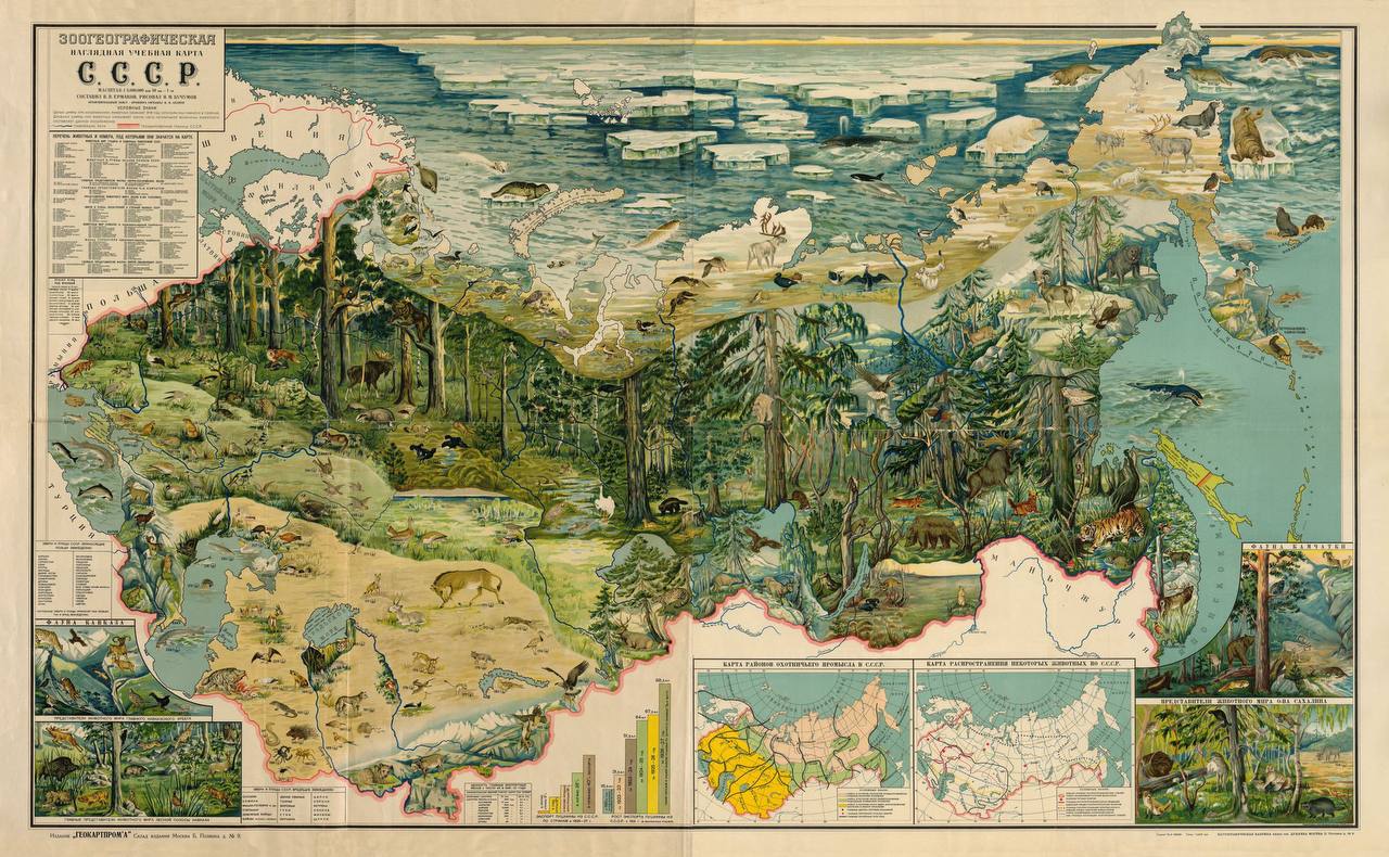
NB! · Geography · Maps · Nature
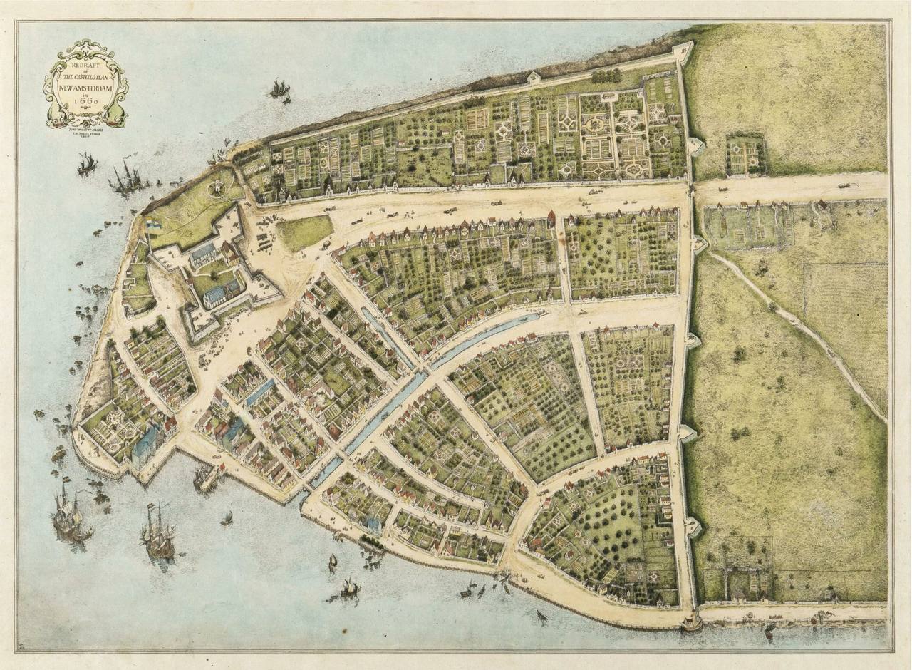
NB! · Geography · Maps · New York
New Amsterdam in 1660. In 1667 this Dutch colony would be renamed New York
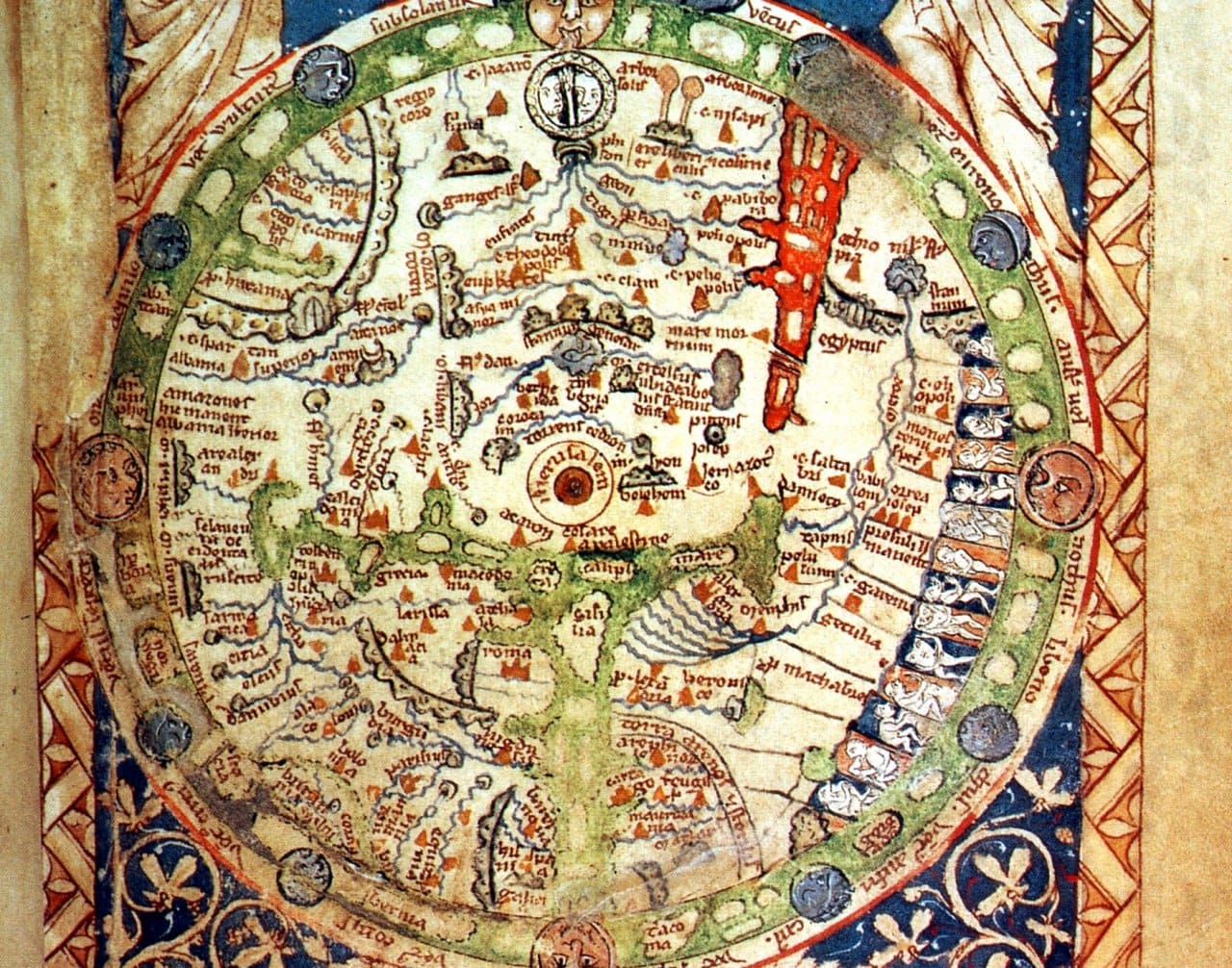
Archive · Faith · Geography · Maps · Books
The Abbess set me a task – To make her map of Paradise more precise. I told her – I am no Swedenborg. She said to me: be humbler and more meek. All night I toiled in vain and wilted, Until my Angel-Wolf flew in, He took pencils, paper, compasses And
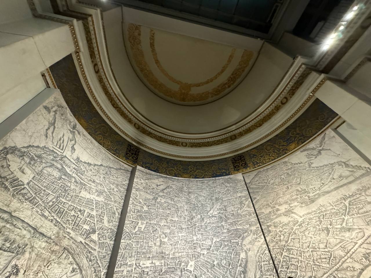
Coming Up · Architecture · Art · Maps · Museums · Rome
In the 16th to 18th centuries Rome was one of the most depicted cities in the world. Dozens of vedutisti from many countries sought to capture its appearance. This allows us today to trace every stage of the city's transformation and its different faces: from the melancholy landscapes
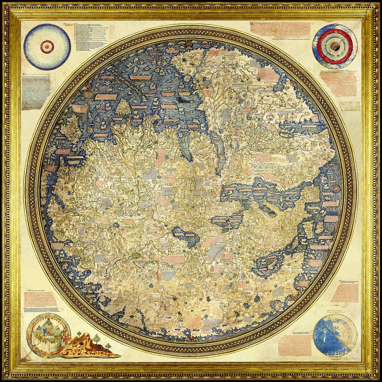
Geography · Maps · Observations
A two-metre circular map of the world as it was known in 1459. It is known as the map of the Venetian monk Fra Mauro, or the Carta Fra Mauro, from the island of Murano. The cartographer was Andrea Bianco. It was made for the King of Portugal. Please
NB! · Geography · Maps · Observations · Nature
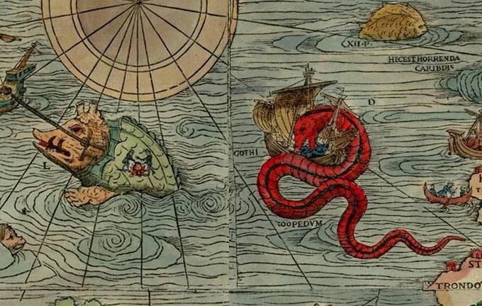
In 1539 the Swedish cartographer Olaus Magnus peopled his Carta Marina of Northern Europe with fantastical beasts. Had the map been drawn in our own day, in place of sea serpents it would have featured garbage patches, oil slicks and offshore platforms
Geography · Maps · Ethnography
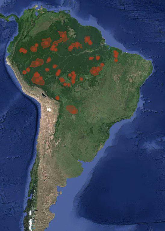
At present, peoples who have never had direct contact with the outside world and modern civilisation remain in India, on islands of the Indian Ocean, in Vietnam, New Guinea, Paraguay, Ecuador, Colombia, Amazonia, Bolivia and Peru
Geography · Maps · Science · Humour
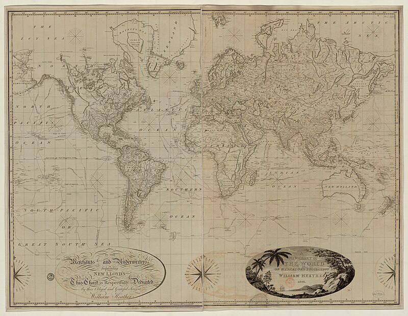
And here comes Emmanuel Macron in the Mercator projection. A splendid photograph for explaining why the scale on Mercator maps is not constant, and why the true area of countries differs from their area in the projection the farther one moves from the equator. This comes from the function that
NB! · Geography · Maps · Observations · Society
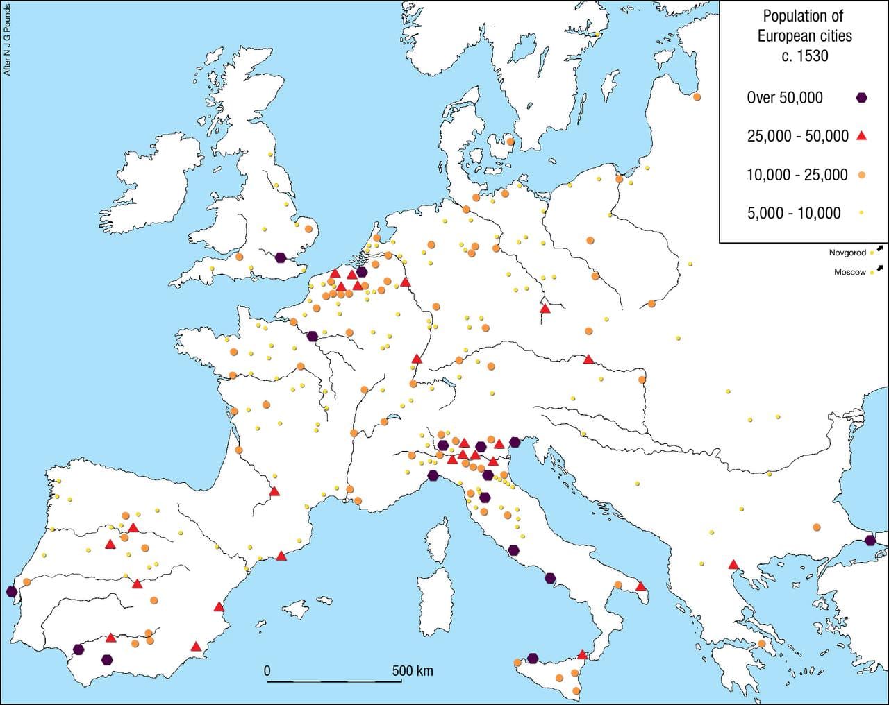
The population of European cities by the first third of the sixteenth century. Note the densely populated north of Italy: this is precisely the age of the High Renaissance.
NB! · Geography · Maps · Rome