And here comes Emmanuel Macron in the Mercator projection
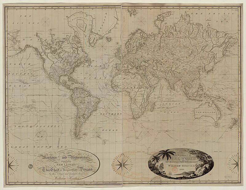
And here comes Emmanuel Macron in the Mercator projection. A splendid photograph for explaining why the scale on Mercator maps is not constant, and why the true area of countries differs from their area in the projection the farther one moves from the equator. This comes from the function that maps coordinates on a sphere onto coordinates on a plane. And yes, the farther a country lies from the equator, the greater the distortion of its area. That is why on the map familiar to everyone Greenland is larger than Australia, although in reality it is three times smaller than that continent. Since the chief purpose of this type of map is nautical, the distortion of the size of countries is not critical for it; the main thing is the ability to plot a convenient course for a ship. On Macron the equator will lie somewhere around the chest, and if one moves across his forehead with the compass needle held at a constant bearing relative to the chest, we too shall get a straight line