In the 16th to 18th Centuries Rome Was One of the Most Depicted Cities in the World
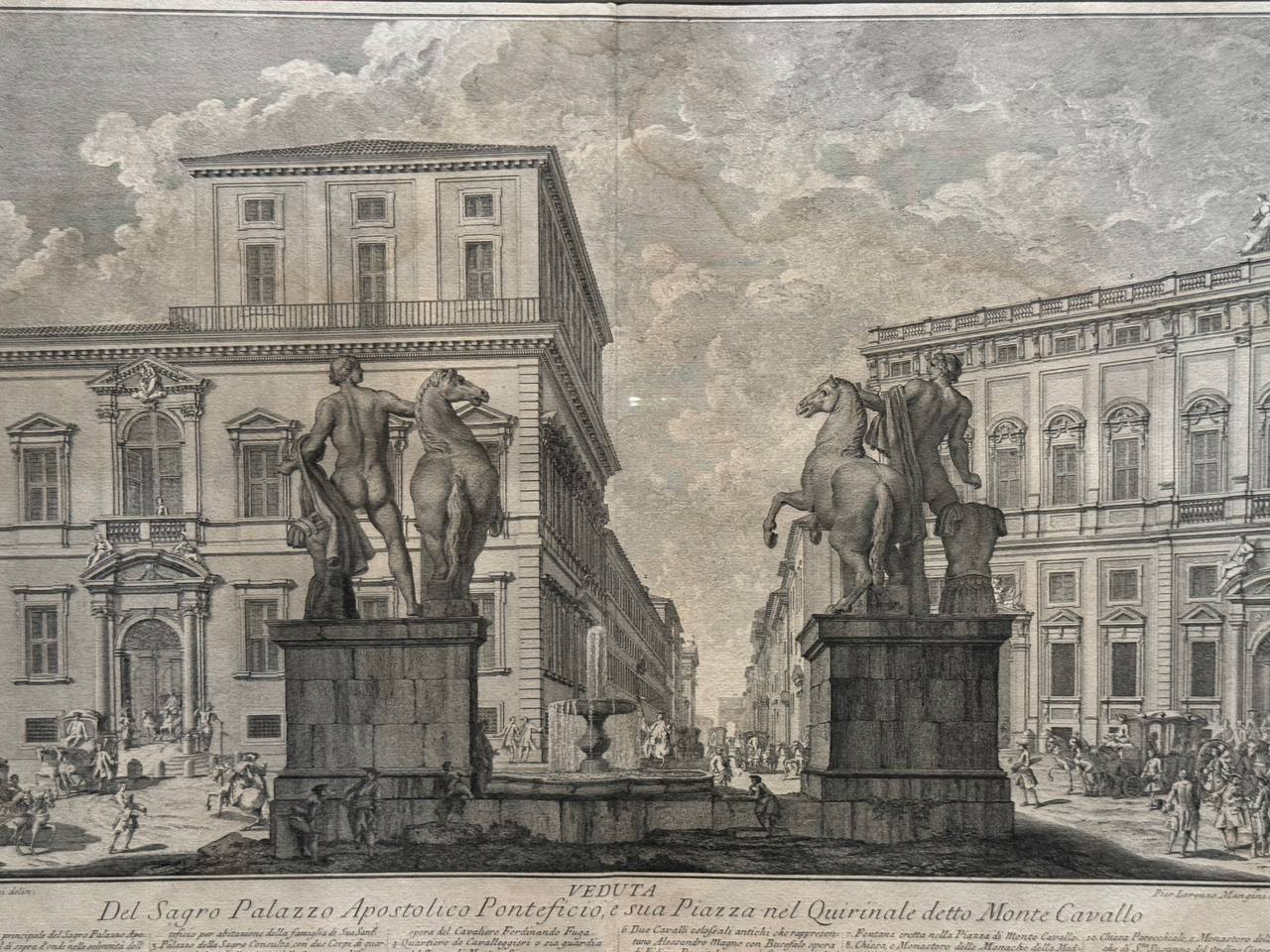
In the 16th to 18th centuries Rome was one of the most depicted cities in the world. Dozens of vedutisti from many countries sought to capture its appearance. This allows us today to trace every stage of the city's transformation and its different faces: from the melancholy landscapes of ruins of the 16th century to the triumphant cityscapes of the Baroque age.
It was also thanks to artists that Rome became a model for imitation in architecture and town planning, and that the Baroque became the first great style since the Gothic to take hold of the whole of Europe. The trident of streets radiating from a single centre, which underlies the city's structure, passed into the plans of Versailles and Saint Petersburg. Triumphal arches, obelisks and columns crowned with statues began to be raised in the principal capitals of the world. The domes of the Pantheon and of Saint Peter's Basilica spread in hundreds of copies and variations. Roman place names, the Capitol, the Forum, the Campus Martius (the Field of Mars), travelled to every corner of the globe. Through the imitation of forms, the world sought to borrow the very spirit of the city: a spirit of grandeur, power and eternity.
The Pushkin State Museum of Fine Arts presents the exhibition “Three Times of Rome. Antiquity. Renaissance. Baroque.” The display comprises more than 150 works from the collection of Maxim Atayants and from the holdings of the Pushkin Museum, the Nizhny Novgorod State Art Museum and the Far Eastern Art Museum.
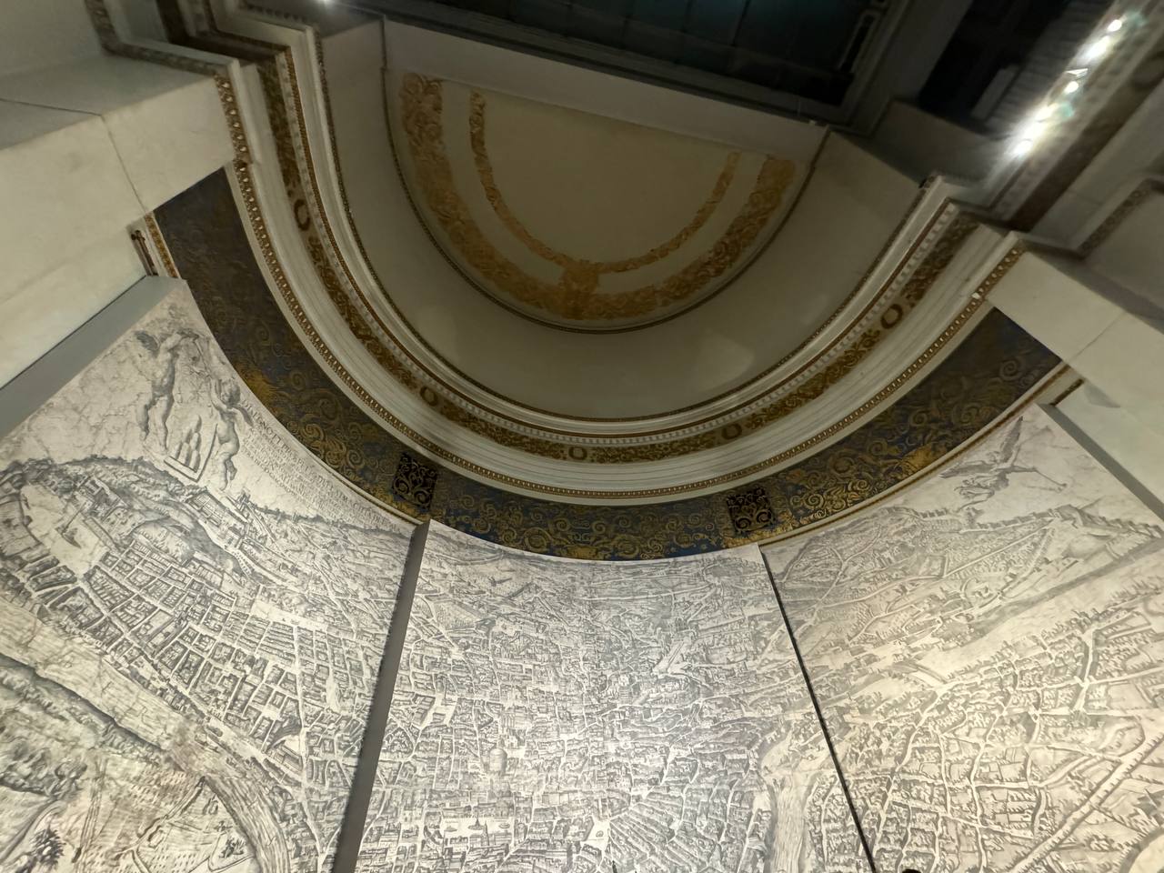
Among the especially interesting exhibits are plans of Rome from different periods, which most vividly reflect the city's transformation. The plan by Antonio Tempesta (1593) shows a Rome already recovered from the decline of the Avignon Captivity and from the sack of 1527 by the Landsknechts of Charles V. The plan of Rome by Giovanni Battista Nolli (1748) is the first geographically accurate map, recording the appearance of the fully built Baroque city, in which form its centre is for the most part preserved to this day. Among the key exhibits is one of the earliest panoramas of Rome, an engraving by Michael Wolgemut from Hartmann Schedel's “Nuremberg Chronicle”.