Friday, 2 October 2026 · Almaty
Section · 119 stories

Maps

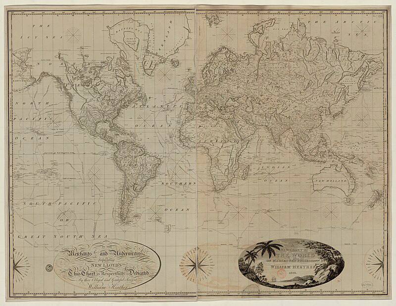
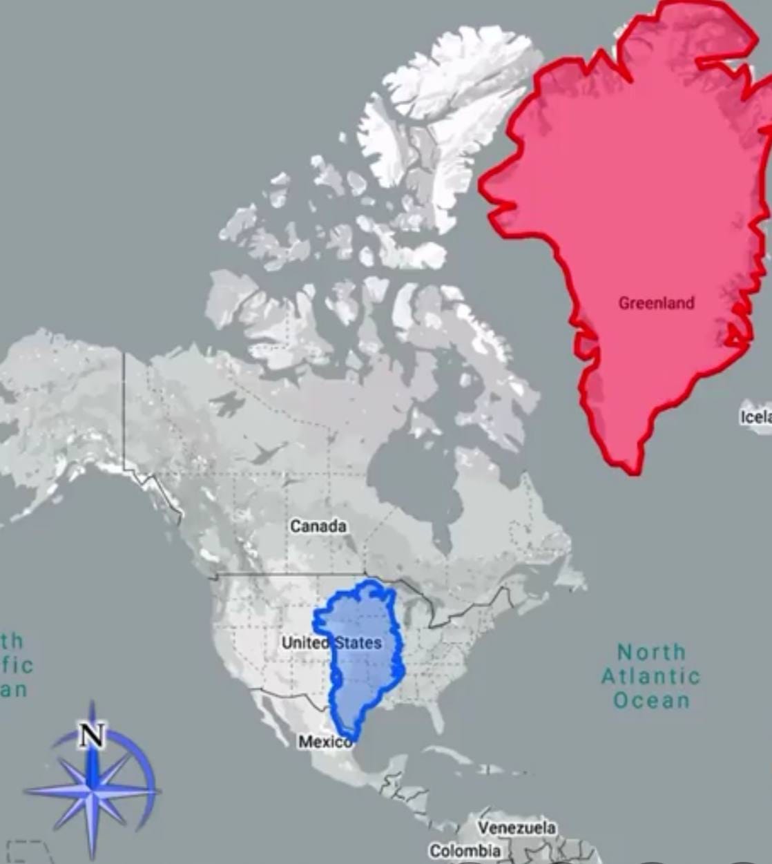
For all who have forgotten how the Mercator-type maps we usually use distort sizes, a reminder in the form of this photograph of Emmanuel Macron with his forehead in the Mercator projection

Geography · Maps · Observations · Humour

For all who have forgotten how the Mercator-type maps we usually use distort sizes, a reminder in the form of this photograph of Emmanuel Macron with his forehead in the Mercator projection

This is precisely how the inconstancy of scale on Mercator maps expresses itself, and precisely why the true area of countries differs from their area in the projection the farther one moves from the equator, so that Greenland looks as though it were larger than Australia. This comes about because

By Alexandr Radayev
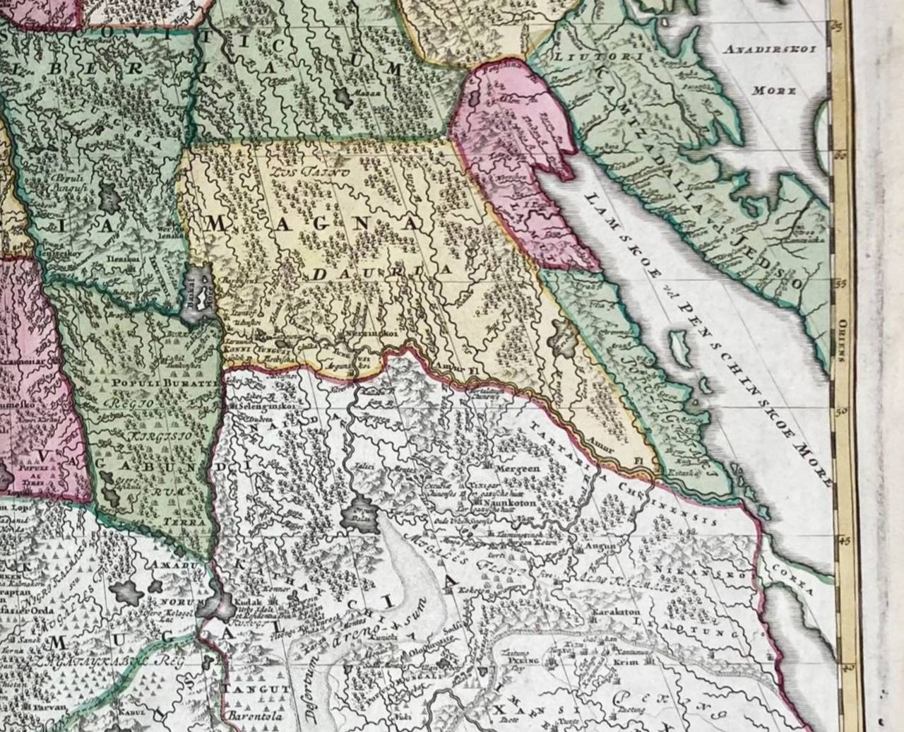
Lamskoe vel Penschinskoe more on the map Generalis Totius Imperii Russorum of 1715: that is to say, here is the Sea of Okhotsk, which has other names too

Archive · Geography · Maps

Lamskoe vel Penschinskoe more on the map Generalis Totius Imperii Russorum of 1715: that is to say, here is the Sea of Okhotsk, which has other names too

Lamskoe vel Penschinskoe more on the map Generalis Totius Imperii Russorum of 1715: that is to say, here is the Sea of Okhotsk, which has other names too. Namely: Akiyan, Lamskoe, Kamchatskoe, Lalayskoe, Penzhinskoe, or simply Lama, the oldest of those known. Lama was what the local people, the Tungus,

By Alexandr Radayev