For all who have forgotten how the Mercator-type maps we usually use distort sizes, a reminder in the form of this photograph of Emmanuel Macron with his forehead in the Mercator projection
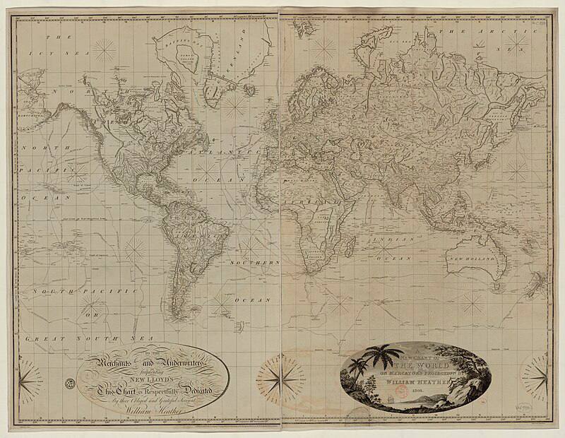
This is precisely how the inconstancy of scale on Mercator maps expresses itself, and precisely why the true area of countries differs from their area in the projection the farther one moves from the equator, so that Greenland looks as though it were larger than Australia.
This comes about because of the function that maps coordinates on a sphere onto coordinates on a plane. Yes, the farther a country lies from the equator, the greater the distortion of its area.
Since the chief purpose of this type of map is nautical, the distortion of the size of countries is not critical for it; what matters is the ability to plot a convenient course for a ship.
On Macron the equator will lie somewhere around the chest, and if we move across his forehead with the compass needle held at a constant bearing relative to the chest, we too will end up with a straight line.