NB! · Archive · Faith · Geography · Maps
NB! · Archive · Faith · Geography · Maps
The East · Geography · Maps
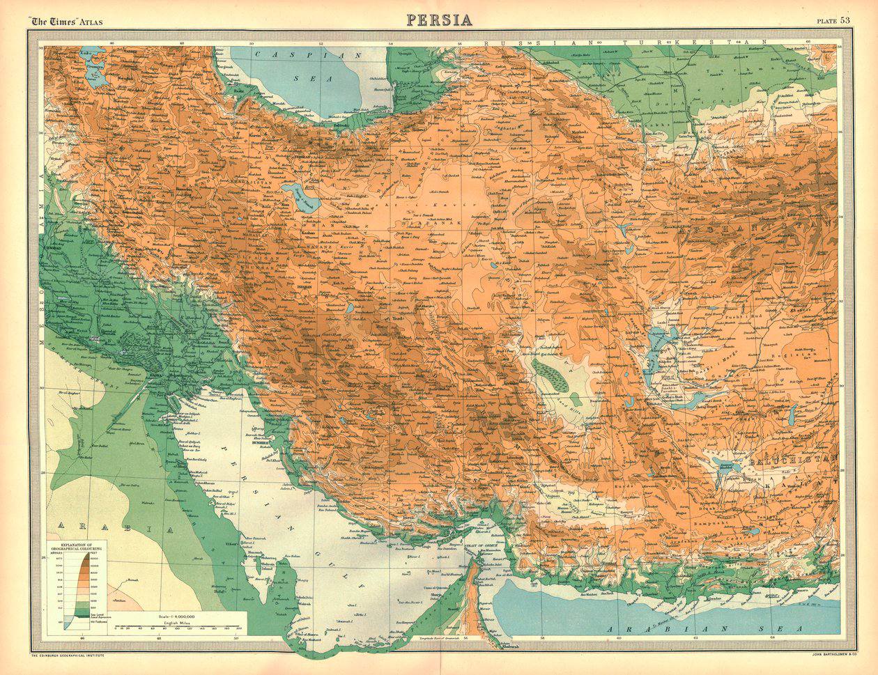
The shared border between Iran and the USSR: 2,500 km of land border, Azerbaijani-Iranian, Armenian-Iranian and Turkmen-Iranian, together with the maritime border on the Caspian Sea
NB! · Geography · Maps · Books
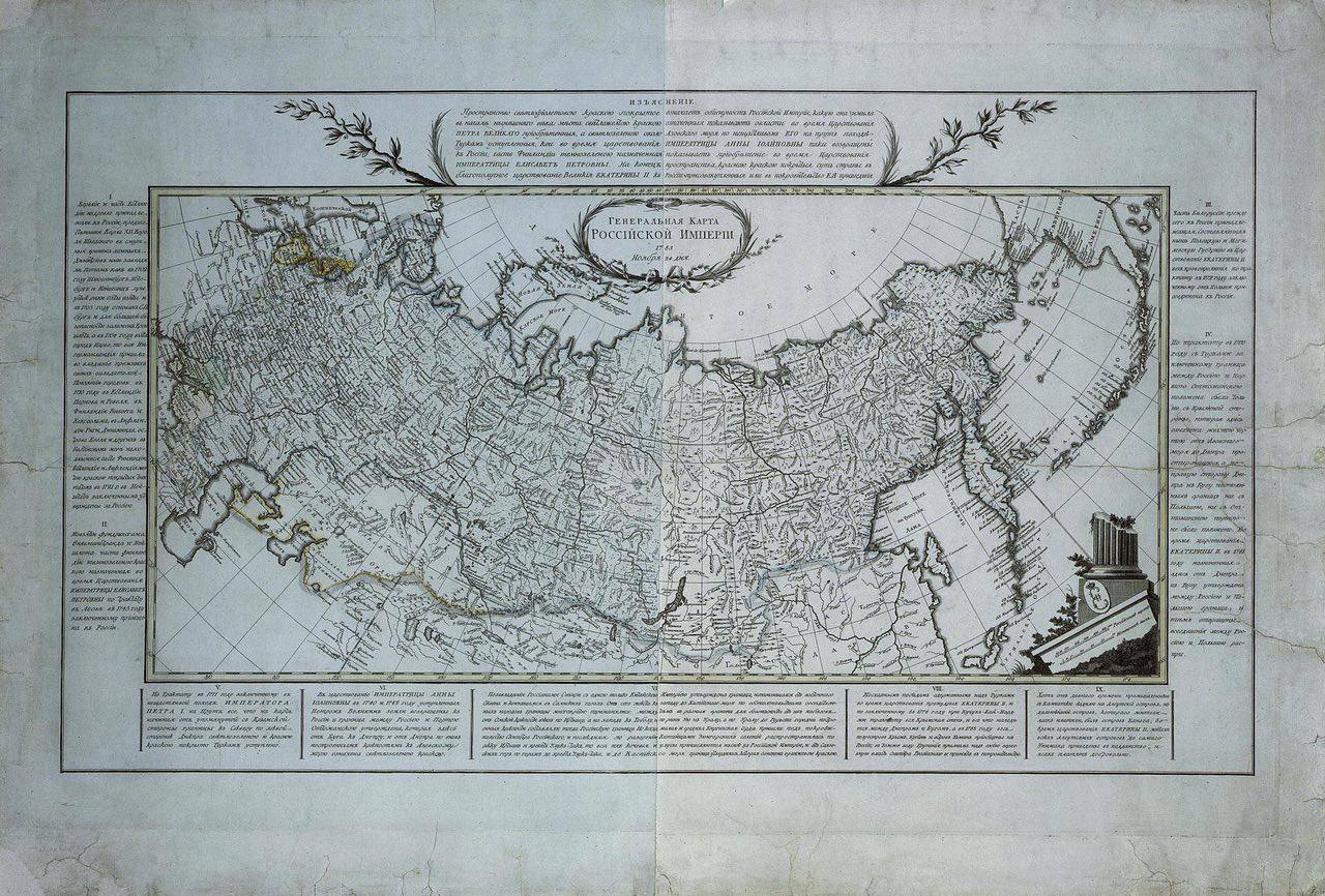
NB! · Geography · Maps
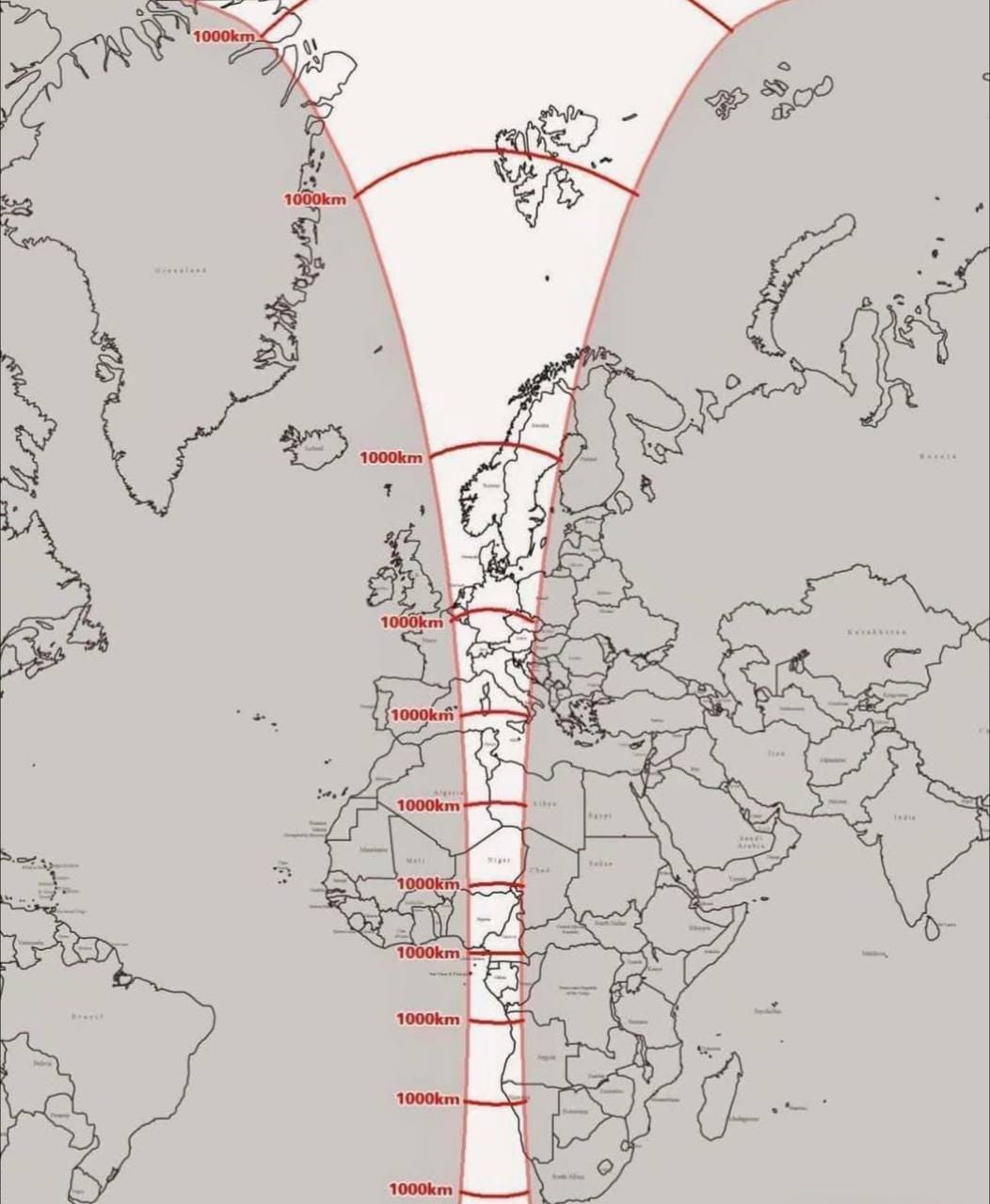
NB! · Geography · Maps · Science
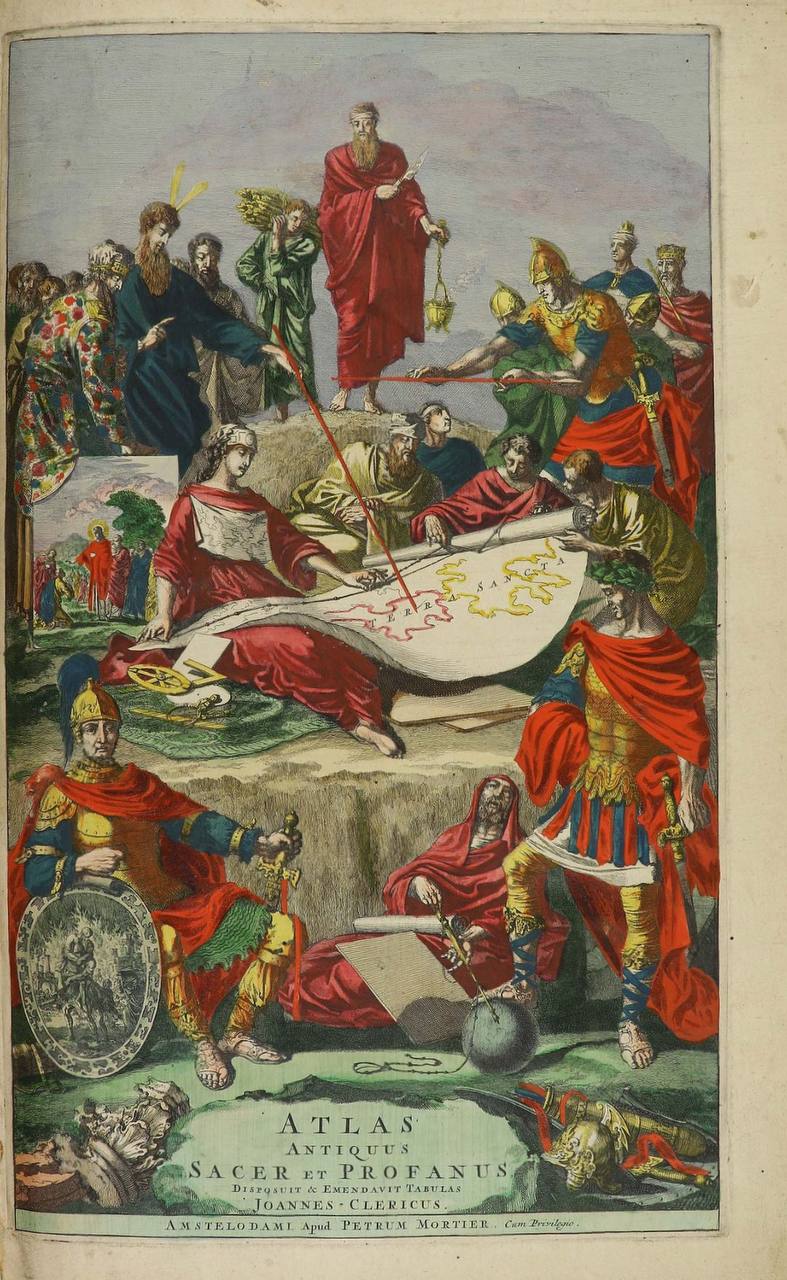
The East · Geography · Maps
The Aral Sea appears on maps of Asia only at the very end of the seventeenth century. Indeed, many atlases of even later date, such as this atlas by Sanson, still show the Caspian Sea as if it were two seas in one: they mark the Syr Darya and the
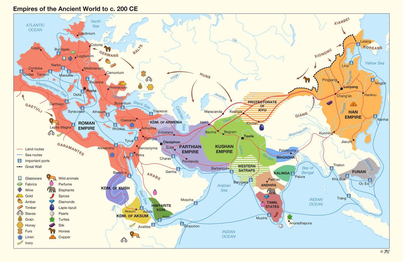
NB! · Geography · Maps
NB! · Geography · Maps
NB! · Geography · Maps · Observations · Humour
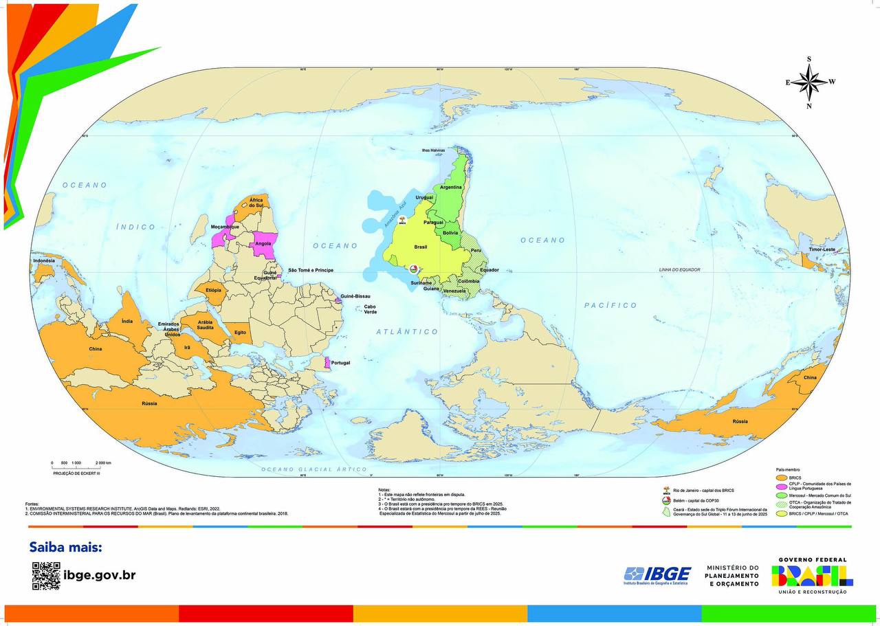
A map of the world according to the government of Brazil. Indeed, why not?
NB! · Coming Up · Geography · Maps · Science
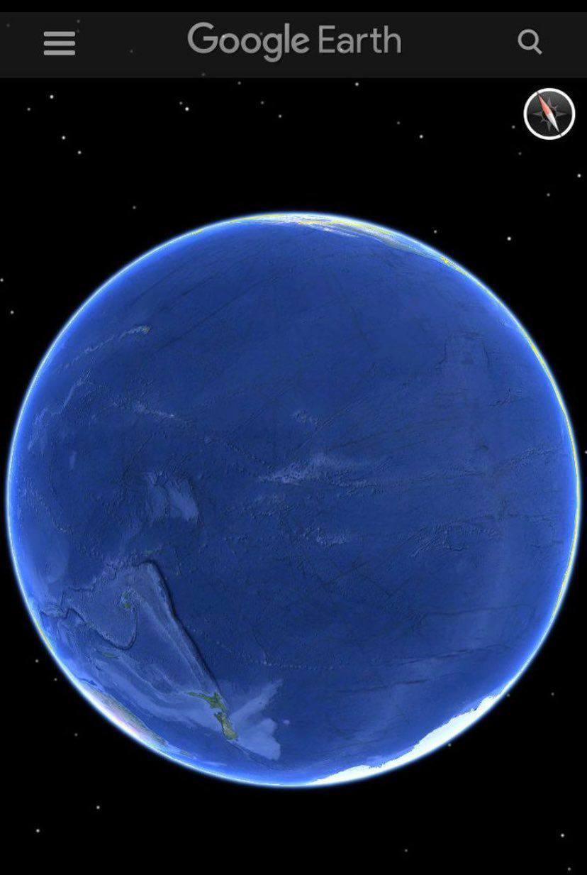
That very place on earth, rarely shown to the layman, where Pacifida, or the continent of Mu, ought to be found. Where the very idea of it came from, hear in the third episode of my podcast
NB! · Geography · Maps · Observations · Humour
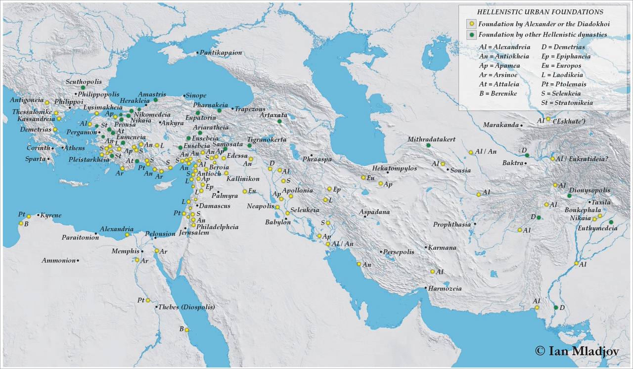
Archaeology · The East · Geography · Maps
Asian cities founded by Alexander the Great and the successive Greek dynasties. According to the principle they observed, these cities and their inhabitants became Greek citizens. Such cities are marked with yellow and green stars. As for Maracanda, or Samarkand, it is believed to have existed long before Alexander the