As recently as 10,000 years ago, Greenland was joined to Eurasia by a land bridge; today that stretch of land is the submerged Lomonosov Ridge, which extends for roughly 1,800 km from the New Siberian Islands to Ellesmere Island in…
For the past several decades this has been one of the key and most contentious themes of the Arctic dialogue.
And now, in connection with the discussions about Greenland, the ridge that divides the Eurasian and Amerasian parts of the Arctic Ocean basin is again being talked about. The limits of the continental shelf demand precision in establishing to whom the ridge belongs, and Canada, Denmark and Russia all lay claim to it.
The ridge, between 60 and 200 km wide and rising from 3,300 to 3,700 metres above the ocean floor, was discovered by the Russian airborne expedition "Sever-2" in 1948.
To clarify the limits of the continental shelf, a Russian expedition was sent to the waters of the ridge in 2007, and it established that "the structure of the crust of the Lomonosov Ridge corresponds to world analogues of continental crust, and is therefore part of the adjoining continental shelf of the Russian Federation".
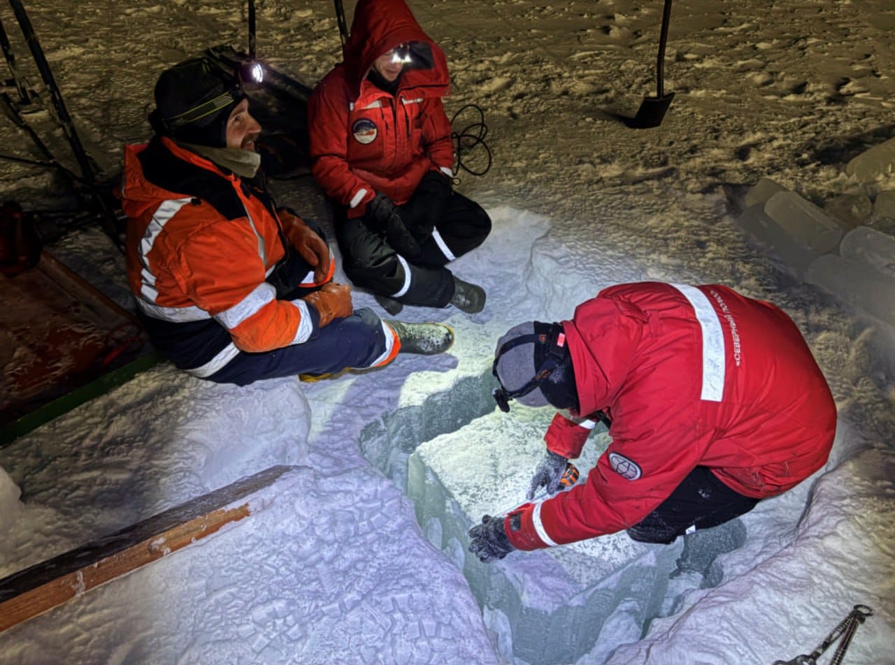
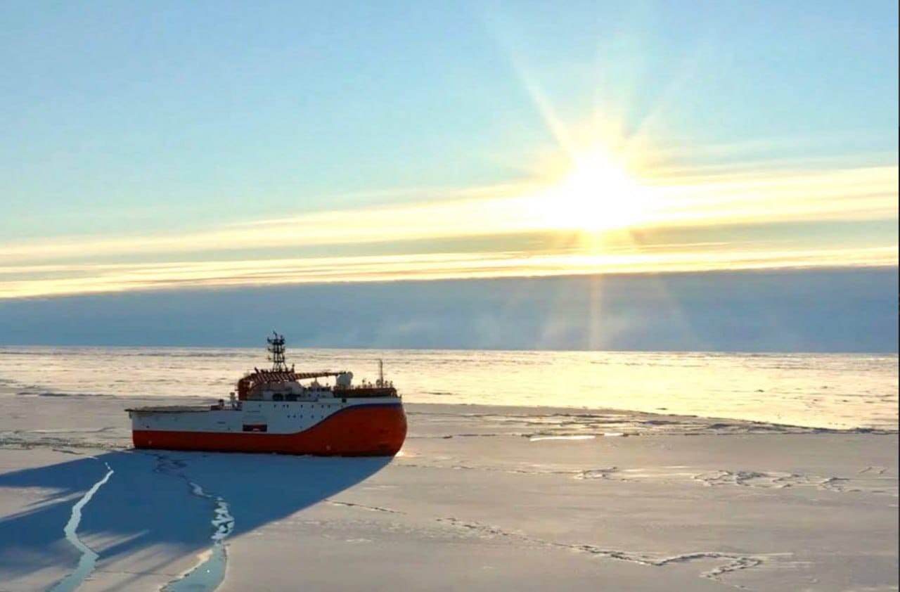
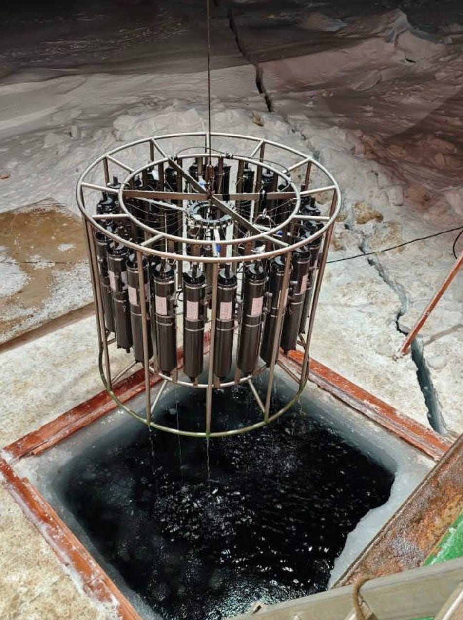
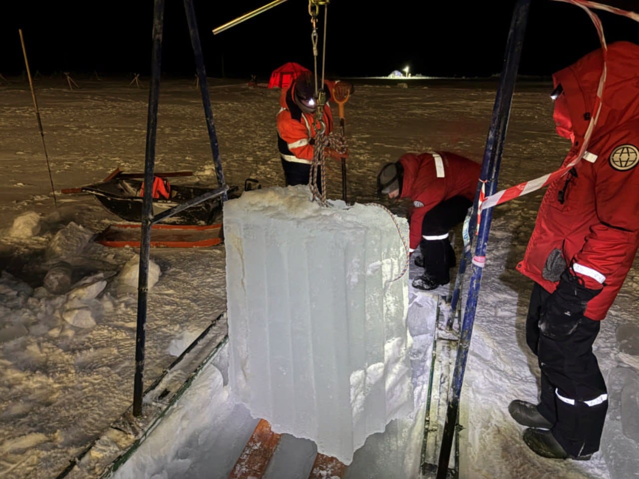
Two years ago, Russian scientists of the Arctic and Antarctic Research Institute studied the submarine ridge from the drifting station "North Pole-42", heir to that very famous ice-floe expedition of 1937.
The existence of the Lomonosov Ridge was predicted theoretically by the Soviet oceanographers Yakov Gakkel and Vladimir Timofeyev, staff of the AARI, in the late 1940s, from what were then scanty hydrological soundings showing that the temperature of the deep water below the 2,000-metre level in the Eurasian sector of the Arctic was about half a degree lower than that of the deep water in the Amerasian sector. The high-latitude expeditions "Sever" and "Sever-2" in 1948 fully confirmed this hypothesis, taking depth soundings in the central part of the Arctic basin.
The Lomonosov Ridge, which at its highest point comes to within about 800 metres of the ocean surface, forms a topographic barrier that shapes the direction of deep ocean currents.
Russia holds that the Lomonosov Ridge is a continuation of the Siberian continental platform, as it officially declared to the specialised UN commission as long ago as 2001. Denmark insists that geographically the ridge is a continuation of Greenland. Canada, for its part, regards the submarine Lomonosov Ridge as a continuation of its own territory. One can only hope that Trump will not meddle in this whole affair.